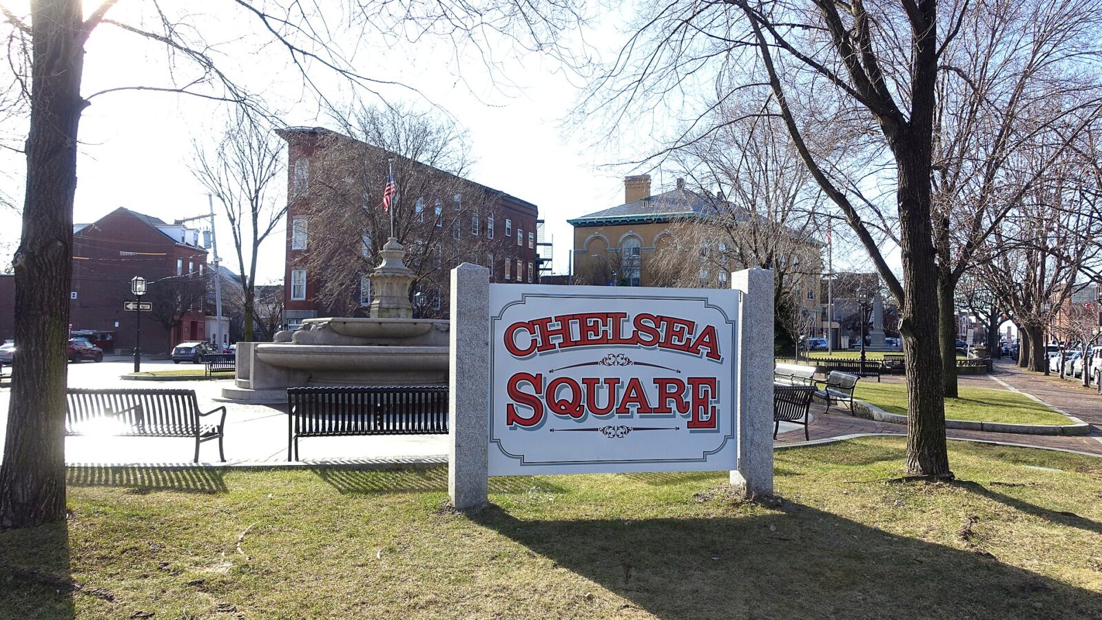
Living in Chelsea
Chelsea sits on a small peninsula in Boston Harbor with water on three sides, and it is the smallest city in Massachusetts by land area. The Tobin Bridge carries Route 1 across the Mystic River to Charlestown. Everett lies to the west across the Island End River, Revere to the north along Mill Creek, and Boston to the south and east across the Mystic River and Chelsea Creek.
Samuel Maverick set up a trading post here in 1624, considered the first permanent settlement in Boston Harbor. The area was part of Boston until 1739, when it became a town named after the London neighborhood, and it became a city in 1857. The Battle of Chelsea Creek in 1775 was the second battle of the American Revolution. After a fire in 1908 destroyed nearly half the city, Chelsea was rebuilt with wider streets, and Bellingham Square, with City Hall and the public library, has been its civic and shopping center ever since.
Homes you will find
- Two- and three-story wood-frame houses in Mill Hill, along Eastern Avenue
- Queen Anne-style homes in Carter Park-Wyndham and on the slopes of Powderhorn Hill
- Residential buildings in the Box District, a former box-making area rezoned for housing in the 2000s
- Homes on Admirals Hill, a mostly residential area beside the former Naval Hospital
- Large apartment buildings at Chelsea Commons, plus multi-families across the flat, dense Addison-Orange area
Getting around
Since 2018 the Silver Line SL3 has run from South Station through the Waterfront Tunnel into Chelsea, with four stops in the city: Eastern Avenue, Box District, Bellingham Square and Chelsea station. Chelsea station, at Mystic Mall, opened in 2021 and is also a stop on the Newburyport/Rockport commuter rail line to North Station. MBTA bus routes such as the 111, 112, 114 and 116 connect Chelsea with East Boston, Revere, Everett and the subway. By car, Route 1 crosses the city and the Tobin Bridge leads straight into Boston.
Parks, waterfront and everyday life
Mary O’Malley Park, the largest park in Chelsea, stretches along the shoreline of Admirals Hill with views of the harbor and the Tobin Bridge. The Mill Creek Riverwalk and Creekside Common run along the northern edge of the city, and Washington Park and Voke Park serve the Prattville neighborhood. A 0.75-mile shared path follows the Silver Line through the Box District between the Eastern Avenue and Bellingham Square stops. The Chelsea Naval Hospital, designed in 1836 by Alexander Parris, is a local landmark, and the city has eight places on the National Register of Historic Places. Bunker Hill Community College has a satellite location in Chelsea. Chelsea runs its own public school system, and families can contact Chelsea Public Schools directly for school details.
Who Chelsea suits
Chelsea suits commuters who want a one-seat ride to South Station and the Seaport or a quick train to North Station, buyers who like the idea of harbor views close to downtown, and investors looking at two- and three-family homes in a compact, walkable city.
Thinking about Chelsea? Ask Suad about recent sales and what is on the market now, in English, Spanish (with Diana) or Bosnian.
